Publications & Atlases
1995
Jan 1, 1995
Authors: B Andrychowicz, A Conte, I Frenkel, A Rosner and P Santacroce
Publishers: I Frenkel and A Rosner
ZWZ, Warszawa, 1955, 165 pages
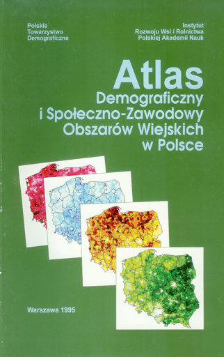
The “Demographic and Socio-Occupational Atlas of Rural Areas in Poland” presents the spatial differentiation of the major population-related phenomena in 164 maps produced using computer techniques. “The Atlas is very impressive in conveying the spatial differences in the shaping of demographic and social process in rural areas. The diagnosis it presents makes up the necessary ground for programming directions in the socio-economic policy aimed at balancing many spatial disproportions.
Atlas Demograficzny i SpotŁeczno-Zawosowy ObszarÓw Wiejskich w Polsce
The “Demographic and Socio-Occupational Atlas of Rural Areas in Poland” presents the spatial differentiation of the major population-related phenomena in 164 maps produced using computer techniques. “The Atlas is very impressive in conveying the spatial differences in the shaping of demographic and social process in rural areas. The diagnosis it presents makes up the necessary ground for programming directions in the socio-economic policy aimed at balancing many spatial disproportions. Therefore the Atlas should prove useful not only for professionals active in social science but also for cycles involved in practical operations on behalf of agricultural and rural areas, as well as for politicians responsible for shaping the Polish space. With this hope we pass the Atlas to the readers and decision makers” (from the Publishers, Prof MariaWieruszewska (Director IRWIR) and Prof Zbigniew Strzelecki (President Polish Demographic Society).
The “Demographic and Socio-Occupational Atlas of Rural Areas in Poland” presents the spatial differentiation of the major population-related phenomena in 164 maps produced using computer techniques. A special attention is devoted the features of peasant households and typological characteristics of the gminas (communes) viewed in terms of demographic changes, employment.<ownership status and size of farms, sources of income, the structure of populatuion’s education and development of infrastructure.
The basic data source to <produce the maps were the results of the General National census in 1988 (and in justified cases also from earlier censuses) and data from other statistical sources.
The preparation of the Atlas required from the author a great input of research and analytical work, as well the application of computer techniques. The Atlas has been created by the Polish authors of the Institute of Rural and Agricultural Development (IRWIR) of the Polish Academy of Science (PAN), and the Italian authors of the IUAV/Venice.